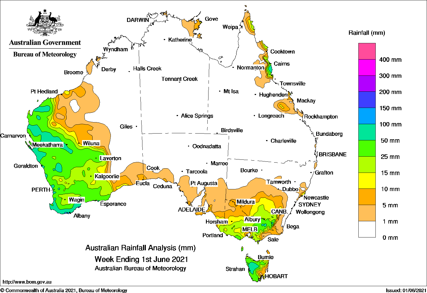
COLD fronts produced moderate rainfall in south-east Australia, while moderate falls across the south-west coast of Western Australia due to a strong cold front.
Past seven days: At the start of the week, a strong cold front and pre-frontal trough tracked across south-east Australia, generating moderate falls across western and northern Victoria, inland south-eastern parts of New South Wales and northern Tasmania. Widespread light falls were recorded across southern South Australia, southern New South Wales, remaining areas of Victoria and southern Tasmania. A pair of surface troughs followed the passage of the cold front, and brought further moderate falls to western Tasmania, and areas of southern coastal Victoria.
From the 29th, a strong cold front and trough, and associated low pressure system approached south-west Western Australia. The system crossed the coast and brought moderate falls to the western Gascoyne and the western South West Land Division. Widespread moderate falls were recorded from the Pilbara to the South East Coastal District the following day, as the cold front tracked eastwards across Western Australia. Daily rainfall totals in excess of 50 mm were recorded in pockets of the Pilbara and western Gascoyne districts.
The low moved slowly eastwards, and was located just south of the south-east coastline of Western Australia by the end of the week. Moderate falls were recorded in south-west and along the west coast of Western Australia, and light to moderate falls were recorded across the southern coast of that state.
Moist onshore flow brought showers and moderate falls to the north tropical coast of Queensland during the week.
Rainfall totals in excess of 100 mm were reported in a small area of the South Coast District in Western Australia, including the highest weekly total of 119 mm at Kimberley.
Rainfall totals in excess of 50 mm were recorded in areas along the south-west coast of Western Australia, elevated areas of north-eastern Victoria and southern New South Wales, and in parts of western Tasmania.
Rainfall totals between 10 mm and 50 mm were recorded from the Pilbara to the South East Coastal district of Western Australia, south-east South Australia, most of Victoria, western and northern Tasmania, southern inland areas of New South Wales, and the north tropical coast of Queensland.
Highest weekly totals
New South Wales and Australian Capital Territory
65 mm Thredbo Village
62 mm Nelson Bay (Nelson Head)
57 mm Thredbo AWS
Victoria
56 mm Mount Hotham
52 mm Grampians (Mount William)
51 mm Mount Buller
Queensland
92 mm Bingil Bay
80 mm Tully Sugar Mill
75 mm South Johnstone Exp Stn
Western Australia
119 mm Kimberley
109 mm Albany Airport
102 mm Tamala
South Australia
23 mm Furner (Woomera Homestead)
20 mm Bool Lagoon (Locksley Farm)
19 mm Padthaway (Marcollat)Prospect Hill
Tasmania
92 mm Queenstown (South Queenstown)
89 mm Mount Read
83 mm Lake Margaret Dam
Northern Territory
12 mm Gove Airport
4 mm Groote Eylandt Airport, Croker Island Airport, Milingimbi Airport
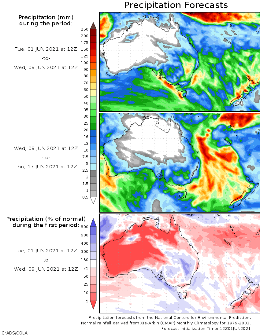
Rainfall outlook
HAVE YOUR SAY