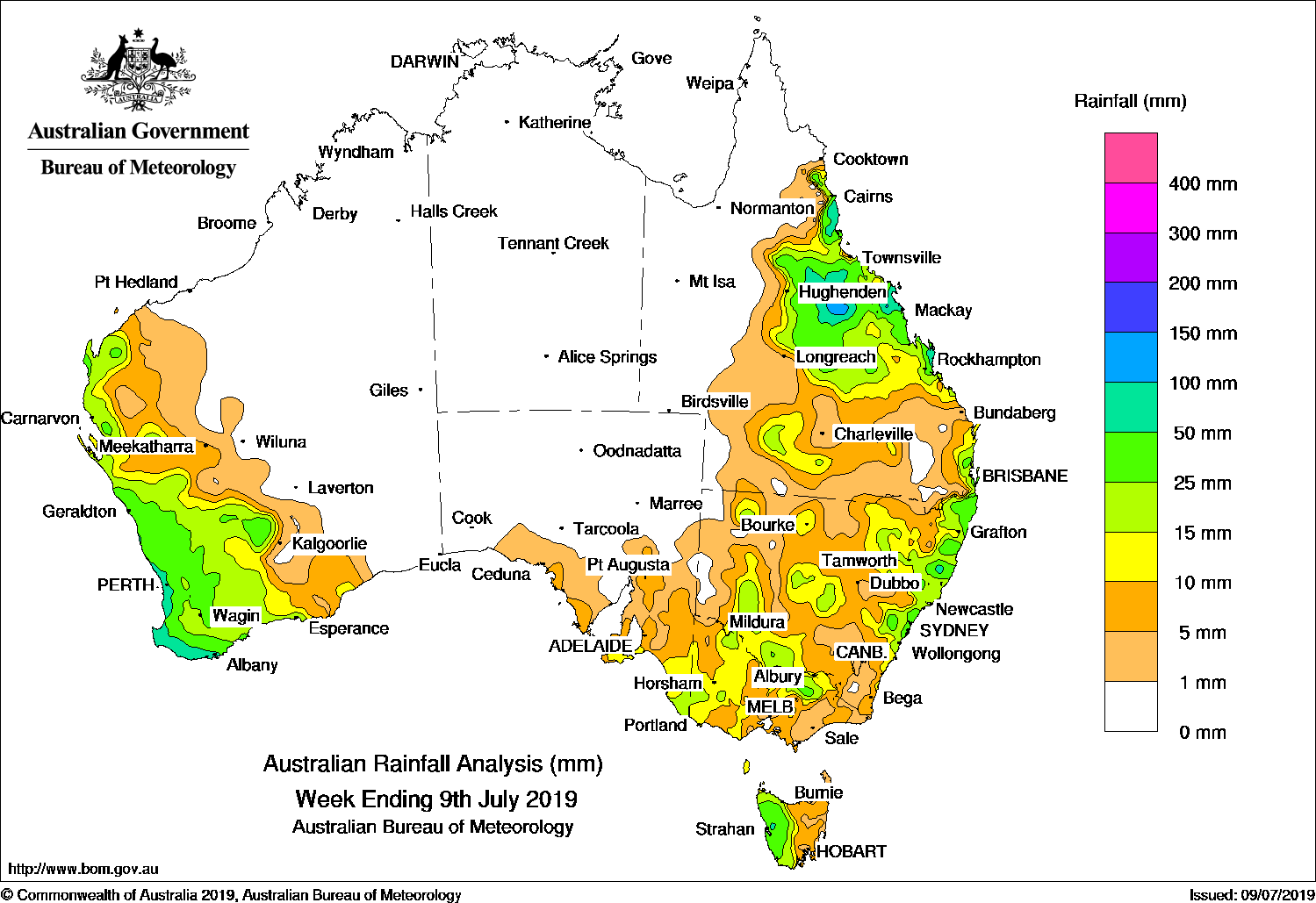
A cold front and pre-frontal trough produced moderate falls in southwest Western Australia, while an upper-level trough brought showers and moderate falls to central Queensland.
Past seven days: At the start of the week, a westerly airstream brought moderate falls to western Tasmania. Onshore winds produced showers with moderate falls recorded along much of the east coast of New South Wales and southeastern Queensland during the first part of the week. An upper-level trough developed over central Queensland, and produced showers and moderate falls over central inland districts and along the north tropical to central Queensland coasts. Onshore showers produced mainly light falls along the New South Wales east coast until the middle of the week.
In the first part of the week, a strong cold front generated a rainband over southwest Western Australia. A large pool of cold, unstable air enabled thunderstorms to develop behind the front. Moderate falls were recorded over much of the South West Land Division, and western Gascoyne and Pilbara districts in Western Australia. In the later part of the week, the front and a pre-frontal trough crossed southern South Australia and produced moderate falls in the State’s southeast. The cold front and pre-frontal trough continued to track across southeast Australia and brought widespread light to moderate falls to most of Tasmania, Victoria and New South Wales before moving off shore at the end of the week.
A surface trough extended through inland Queensland and interacted with an upper-level trough that moved over southern Queensland. Showers and areas of rain developed over the southern half of Queensland, and produced widespread light to moderate falls. Moderate falls were also recorded along Queensland’s north tropical and central coasts, and central inland districts.
Rainfall totals in excess of 100 mm were recorded in the northeast tropical coast of Queensland, including the highest weekly total of 119 mm at Tully Sugar Mill.
Rainfall totals in excess of 50 mm were recorded along the southwest coast of Western Australia, a small area in western Tasmania, spots of the northeast coast of New South Wales, and in parts of Queensland’s central coast and adjacent inland regions.
Rainfall totals between 10 mm and 50 mm were recorded across the western parts of Western Australia and extending into the western Pilbara, Gascoyne and eastern parts of the South West Land Division; in southeastern South Australia; much of western and northern Victoria away from the east; the western half of Tasmania; areas of western, central and eastern New South Wales; and in parts of southern, central and eastern Queensland.
Little or no rainfall was recorded in remaining parts of Western Australia, the Northern Territory, far western and northern Queensland as well as pockets through the southeastern interior, South Australia away from the southeast, and small pockets in western and southern New South Wales.
Highest weekly totals list and map
New South Wales and Australian Capital Territory
103 mm Meldrum (Coolawarrah)
102 mm Yarras (Mount Seaview)
84 mm Point Lookout
Victoria
38 mm Edi Upper
28 mm Lake Buffalo
27 mm Cobram (Goulburn Murray)
Queensland
119 mm Tully Sugar Mill
117 mm Mount Jukes
114 mm Innisfail
Western Australia
89 mm Shannon
88 mm Swanbourne
84 mm Albany
South Australia
21 mm Naracoorte Aerodrome
20 mm Cape Jaffa (The Limestone)
18 mm Parawa
Tasmania
87 mm Mount Read
54 mm Queenstown (South Queenstown)
46 mm Zeehan
Northern Territory
0.4 mm Centre Island
0.2 mm Gove AirportPirlangimpi AirportPoint Stuart
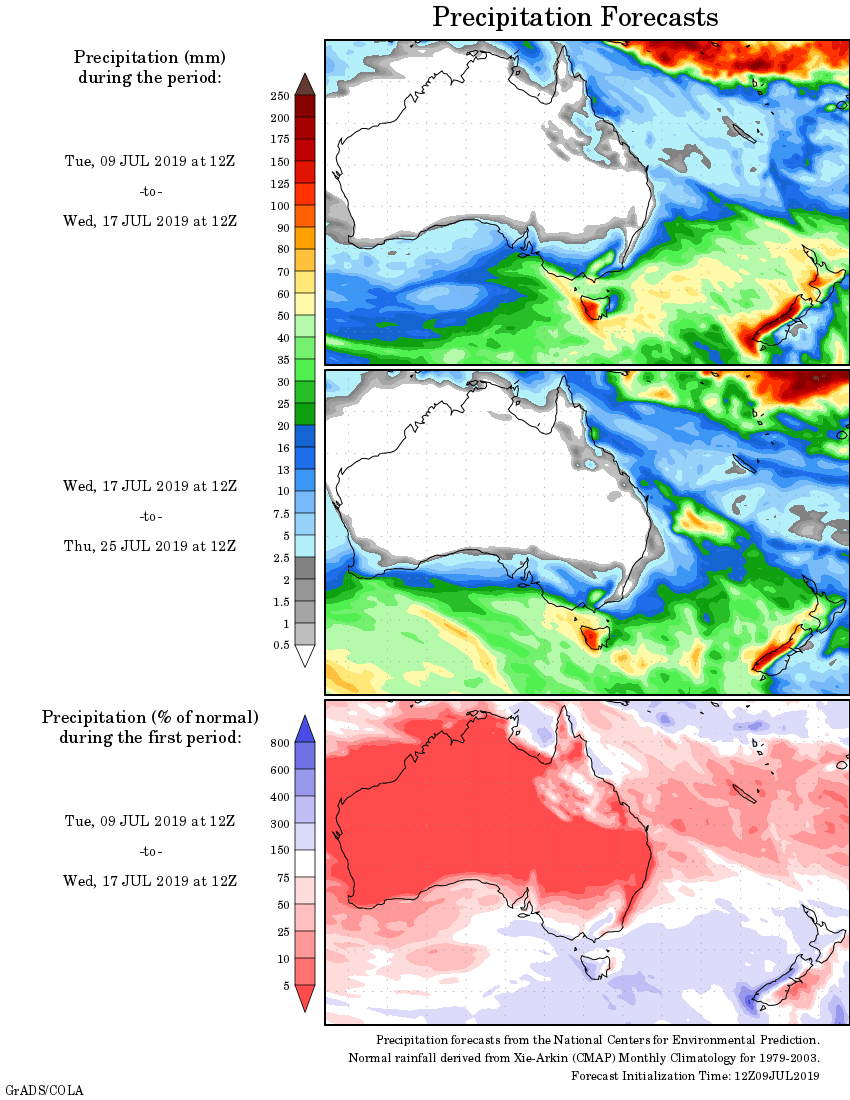
Rainfall outlook:
HAVE YOUR SAY