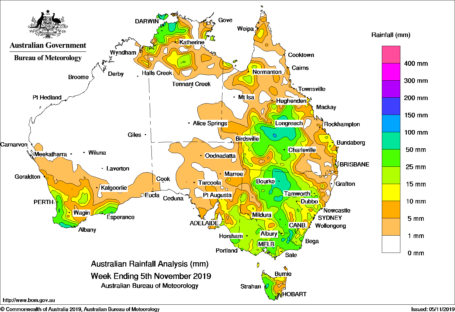
Past seven days: At the start of the week, an upper level trough combined with a slow-moving surface trough generated showers and thunderstorms with moderate rainfall in central and inland southern Queensland.
In the west, a cold front and a westerly flow moving across the southwest of Western Australia produced a number of wet days with moderate rainfall totals to the South West Land Division.
The cold front and associated cloud band moved through southern parts of South Australia in the middle of the week, while a pre-frontal trough extending from central Australia to southeast also moved slowly east. Moderate rainfall was recorded in south-east South Australia, the western half of Victoria and western Tasmania.
The trough and cold front located over western New South Wales and central Victoria then slowly moved east through inland New South Wales and east Victoria before weakening near the northeast coast at the end of the week. Showers and thunderstorms produced moderate rainfall of 20 to 70 mm over the two-day period on the 3rd and 4th across a large area in inland New South Wales, the Queensland southern border areas, and the eastern half of Victoria. For many areas, it was the first significant falls since April.
Another cold front produced mostly light rainfall in the southeast of the country, with patchy moderate falls in central Victoria and East Gippsland towards the end of the week.
A trough across the country’s tropical north and inland Queensland produced showers and thunderstorms over the east Kimberley in Western Australia, the Top End in the Northern Territory, and the Gulf Country in Queensland.
Weekly rainfall totals in excess of 50 mm were recorded in coastal northwestern Northern Territory, central Queensland, the inland north and southeast of New South Wales, patches of eastern Victoria, western Tasmania, and the south coast of Western Australia. The highest weekly total was 154 mm at Point Stuart in the Northern Territory.
Weekly rainfall totals between 10 mm and 50 mm were recorded in the east Kimberley; the western, southern and northeastern of the South West Land Division in Western Australia; south-eastern South Australia; Victoria, and much of New South Wales away from the west and north-east, central and inland south Queensland, as well as areas along Queensland’s east coast and the Gulf coastal areas. Similar totals were also recorded over much of the eastern half of Tasmania.
Little or no rainfall was recorded in remaining parts of Western Australia; the southern two-thirds of the Northern Territory; northern, western and inland eastern Queensland; western and north-eastern New South Wales; South Australia except in the south-east, and eastern Tasmania.
Highest weekly totals
New South Wales and Australian Capital Territory
101 mm Bourke Airport Aws
86 mm Gumbooka
72 mm Grong Grong (Junee St)
Victoria
62 mm Falls Creek
59 mm Mount Buller
56 mm Mount Baw Baw, Uplands (Gibbo River Park)
Queensland
117 mm Blackall Airport
87 mm Wahroongha
73 mm Isisford Post Office
Western Australia
73 mm Mount William
65 mm Shannon, Mundaring
South Australia
32 mm Robe, Parawa (Second Valley Forest)
31 mm Bool Lagoon (Locksley Farm)
Tasmania
73 mm Mount Read
60 mm Lake Margaret Dam
57 mm Lake Margaret, Power Station
Northern Territory
154 mm Point Stuart
94 mm Darwin Hospital
91 mm Darwin Airport
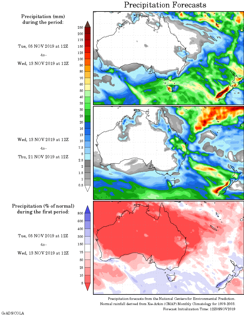
Rainfall outlook


HAVE YOUR SAY