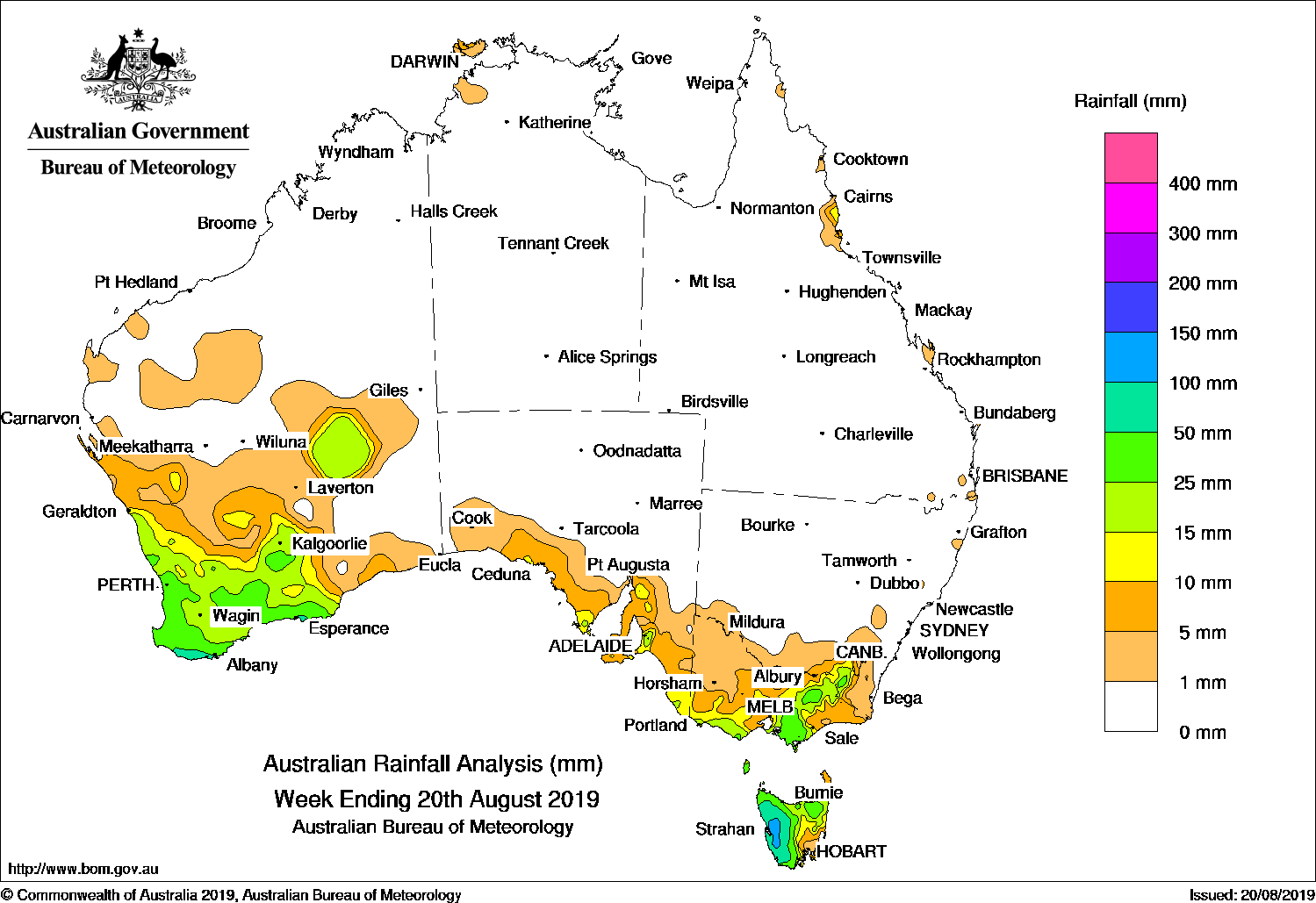
COLD fronts brought moderate falls to the southwest, and further cold fronts and troughs produced moderate falls and snow in the south-east.
Past seven days: At the start of the week, a cold front and low pressure system tracked across south-west Western Australia. Light to moderate falls were recorded over the South West Land Division, and thunderstorms developed over the eastern interior of Western Australia. As the cold front moved eastwards, a second cold front situated to the west of Tasmania. Cold fronts brought moderate falls to western Tasmania. Widespread light falls recorded in remaining parts of Tasmania, and southern and eastern Victoria.
In the second half of the week, a strong cold front crossed south-west Western Australia and produced moderate falls. This cold front tracked across southern Australia, with light rainfall recorded along exposed parts of the southern coast of Western Australia and South Australia. The cold front crossed south-eastern Australia at the end of the week, and brought moderate falls from southern to north-eastern Victoria, the Snowy Mountains in New South Wales, and western Tasmania. Widespread light falls were recorded across south-eastern South Australia, remaining parts of Victoria and Tasmania, and south-eastern New South Wales. A vigorous westerly stream brought further moderate falls to western Tasmania at the end of the week.
Rainfall totals exceeding 100 mm were recorded in western Tasmania, including the highest weekly total of 149 mm at Mount Read.
Rainfall totals in excess of 50 mm were recorded in parts of the south coast of Western Australia, and in western Tasmania.
Rainfall totals between 10 mm and 50 mm were observed in the South West Land Division and parts of the eastern interior of Western Australia, southern South Australia, most of southern to north-eastern Victoria, the Snowy Mountains in New South Wales, and northern and western Tasmania.
A few locations in the far northeast of the Top End in the Northern Territory received very small weekly totals, while Pirlangimpi Airport in the Tiwi Islands recorded a weekly total of 13 mm. Some coastal locations in Queensland also observed totals in excess of 10 mm, mostly around Innisfail.
Little or no rainfall was recorded in remaining parts of the Northern Territory, Western Australia, and South Australia away from the southern coast, northwestern Victoria, parts of south-eastern Tasmania, most of New South Wales away from the Snowy Mountains, and Queensland.
Highest weekly totals
New South Wales and Australian Capital Territory
51 mm Perisher Valley AWS
36 mm Thredbo Village
26 mm Cabramurra AWS
Victoria
64 mm Mount Baw Baw
53 mm Madalya
46 mm Boolarra South
Queensland
25 mm Cowley Beach (Defence)
17 mm Innisfail
16 mm Sandy Cape Lighthouse
Western Australia
84 mm Walpole Forestry
71 mm North Walpole
63 mm Vasse
South Australia
41 mm Bridgewater
35 mm Heathfield Works Depot, Hahndorf
Tasmania
149 mm Mount Read
133 mm Lake Margaret Power Station
124 mm Queenstown (South Queenstown)
Northern Territory
13 mm Pirlangimpi Airport
3 mm Adelaide River Post Office, Dum In Mirrie Airstrip
*Some elevated sites can be affected by snow and wind, and the true totals are most likely higher
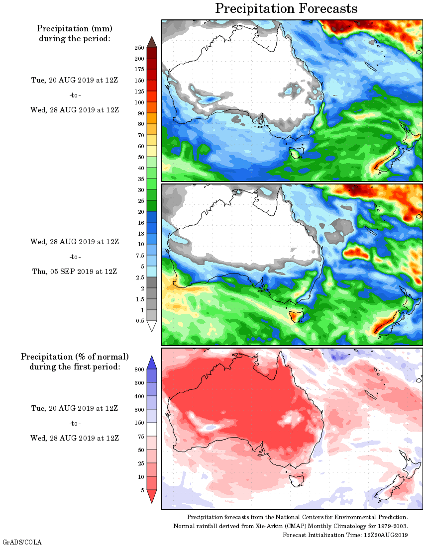
Rainfall outlook:


HAVE YOUR SAY