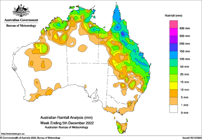
AT the start of the week, monsoon-like conditions brought storms to the Kimberley (Western Australia) and the Top End of the Northern Territory.
 Later in the week, the storms moved over the Cape York Peninsula and southwards down the Queensland coast, before moving offshore.
A high pressure system over southern Australia resulted in little rain during the week in southern areas except for western Tasmania and the Northern Rivers district in New South Wales.
The highest weekly rainfall total, at a Bureau site, was 177.6 mm at Weipa (Eastern Ave) on the Cape York Peninsula (Queensland), and the highest daily total was 120.0 mm at Tully Sugar Mill (Queensland) in the 24 hours to 9am on the 1st.
Weekly rainfall totals above 100 mm were recorded across the Cape York Peninsula and along the ranges in Queensland and in the far east of Arnhem Land (Northern Territory).
Weekly rainfall totals of 25 to 100 mm were recorded for much of eastern Queensland including the South East, and around 25 mm in the Kimberley (Western Australia) and the Top End (Northern Territory).
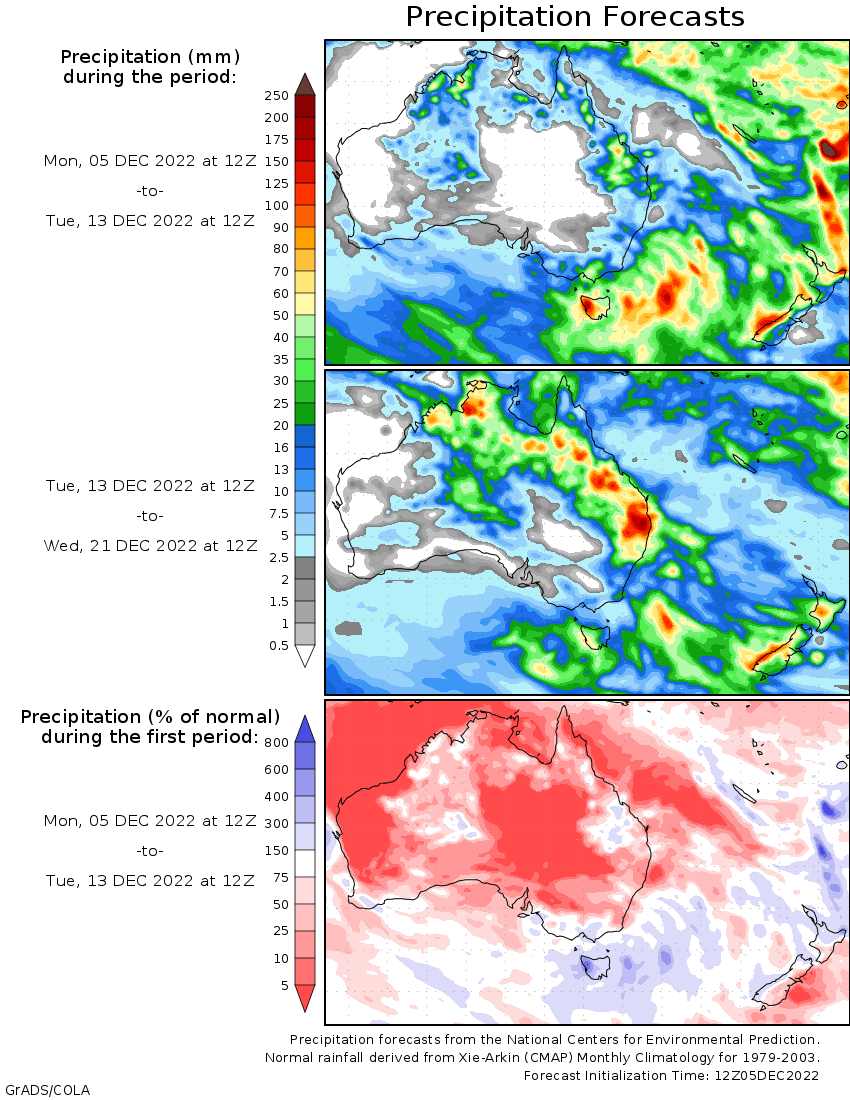
November rainfall was the 10th-highest on record for Australia as a whole, with the national area-average 76% above the 1961–1990 average.
Ongoing flooding
Major flooding continues in inland New South Wales along the Darling, Lachlan and Murrumbidgee Rivers.
Major flooding of the Murray River continues to affect New South Wales and Victoria.
The Murray River in South Australia is experiencing moderate flooding with rises expected over the coming weeks and months.


HAVE YOUR SAY